


Aktuality

Výběrové řízení na pozici Ředitel/ka České informační agentury životního prostředí
Ministerstvo životního prostředí vyhlašuje výběrové řízení na obsazení místa Ředitel/ředitelka České informační agentury životního prostředí:[…]

Vytvoření Geoportál 2 CENIA MŽP
Česká informační agentura životního prostředí (CENIA), získala dotaci v rámci projektů z 11. výzvy k[…]
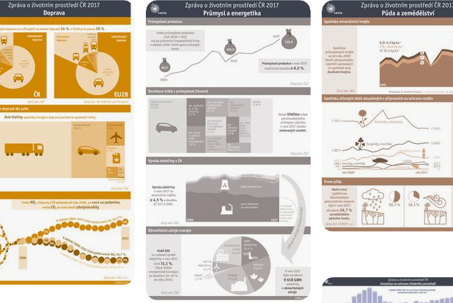
Vyšla druhá Zpráva o kvalitě života a její udržitelnosti.
Druhou Zprávu o kvalitě života a její udržitelnosti, která hodnotí naplňování strategického rámce Česká republika[…]
Činnosti


Informační systémy


CENIA
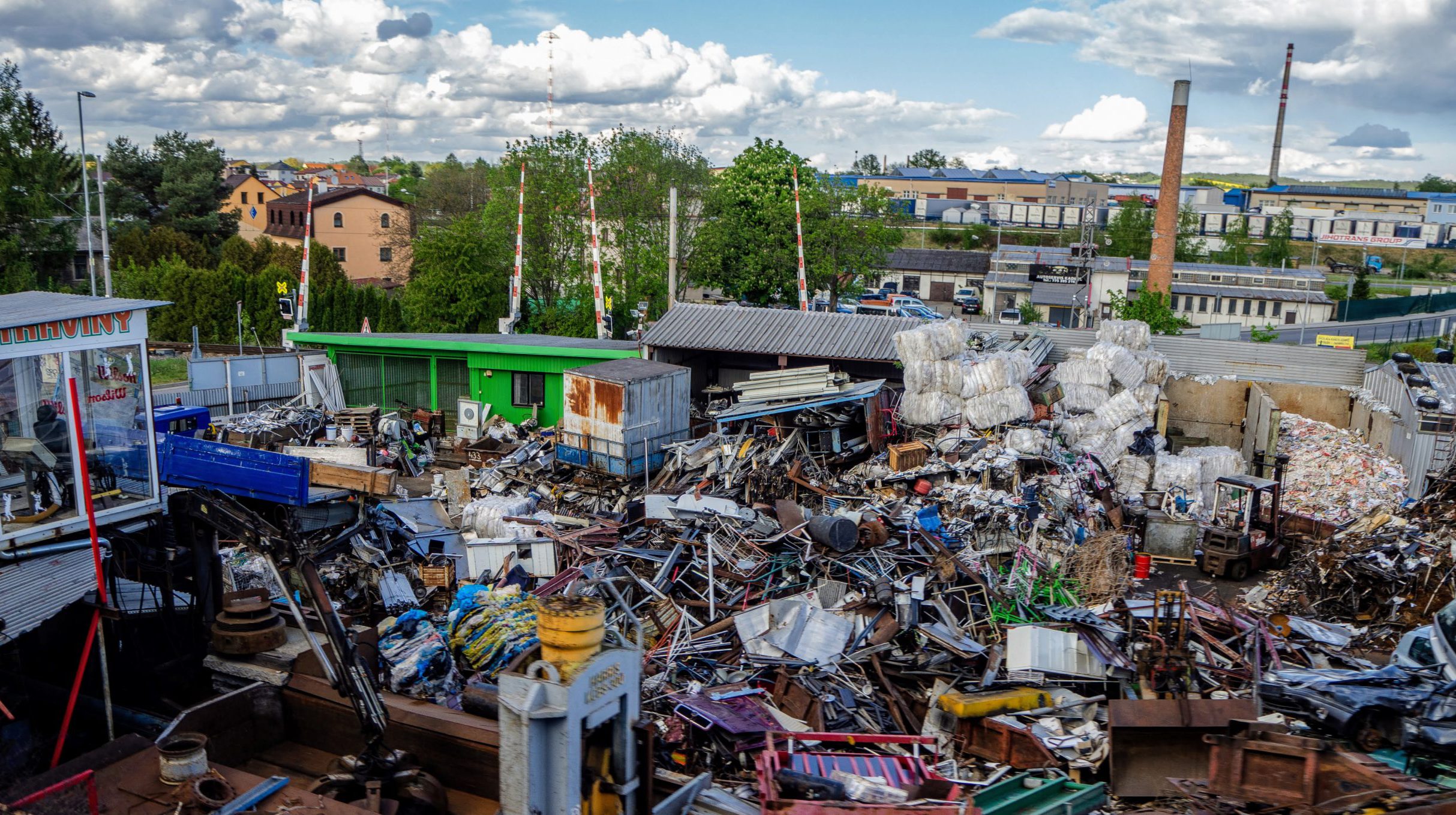
Česká informační agentura životního prostředí (CENIA) je příspěvkovou organizací Ministerstva životního prostředí. Základní účel organizace je odborná, informační, datová a výzkumná podpora výkonu státní správy a provoz a rozvoj informačních systémů v rozsahu předmětu činnosti. CENIA tak zajišťuje validovaná data a informace z oblasti životního prostředí, poskytuje mapové služby a spravuje a provozuje řadu informačních systémů. Zajišťuje technickou infrastrukturu pro plnění ohlašovacích povinností, věnuje se problematice odpadového a oběhového hospodářství a provádí posudkovou a certifikační činnost v oblasti integrované prevence. Spolupracuje se všemi poskytovateli datových zdrojů v resortu životního prostředí i s řadou výzkumných, vědeckých či univerzitních pracovišť. V ČR je CENIA kontaktním místem pro Infrastrukturu pro prostorové informace v Evropě INSPIRE.
O CENIA